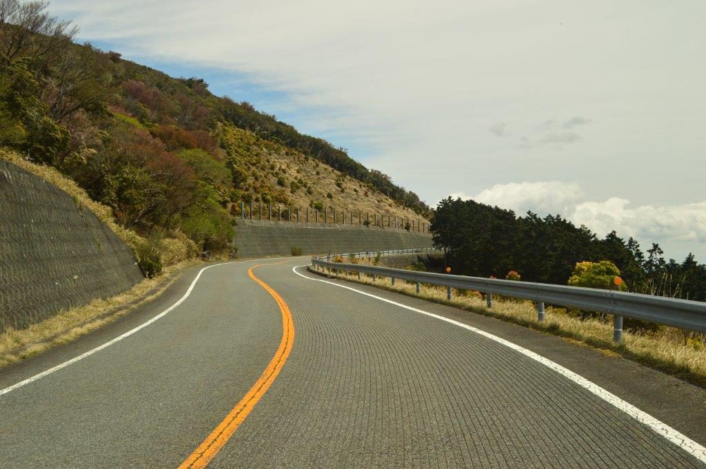
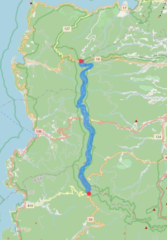
Continuing by taking the right exit from route 18 (at Heda Touge), onto the route 127 towards Funabara Pass will serve you very tight corners slowly twisting up a mountain pass for the first part.
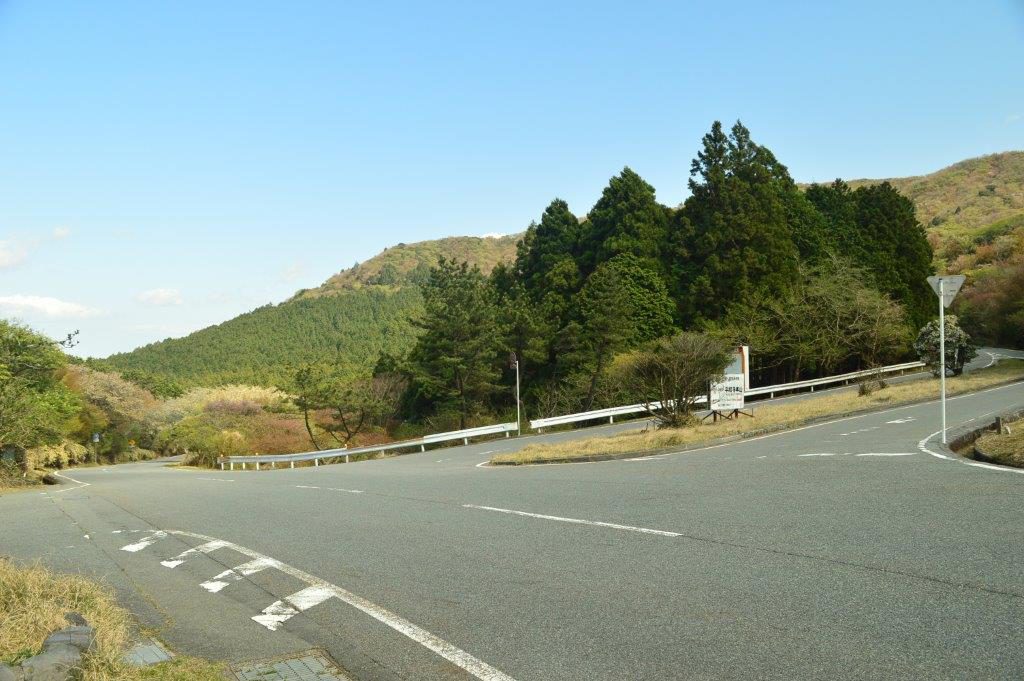
After that, the road becomes a bit wider with larger radius corners. The view also opens up with far sights of the road twisting along the mountains and panoramic views including the sea.
The route 127 will later on merge into the route 411 which is the more high speed part of the Nishi-Izu Skyline as it has a more straight sections and not so tight corners.
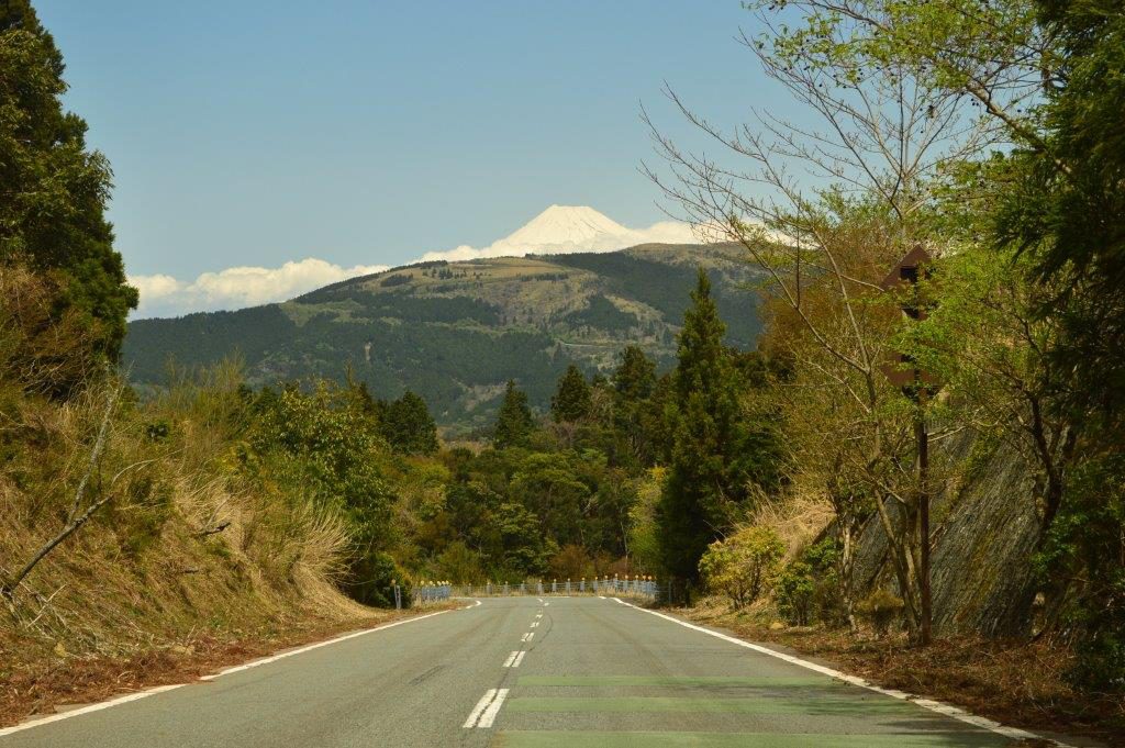
The route 411 will again merge into a different road name, the route 59. In case you just keep following the road you will not notice it. Along the route 59 there are large grazing fields for cows and thus gives a completely different view again. After reaching the highest point the route 59 will merge into the route 410 where there is a parking with magnificent view of the sea and the port city Ugusu. A bit further down there is also a restaurant.
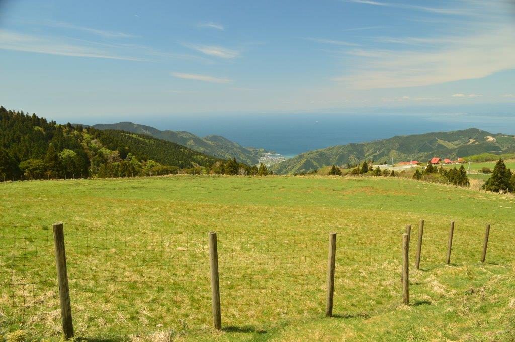
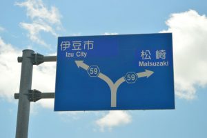
When going down further the road will become more narrow. The same accounts for following the route 59 to Matsuzaki. For enjoying driving it is therefore suggested to take the route 59 to back to Izu City and then the route 136 to Izu, route 18 to Shuzenji or all the way back to the route 17 towards Numazu.
At the time of writing there were no tolls on these roads and also the road quality was generally very good.
Google Maps location link:
Heda Touge parking
JDM4all Youtube video:
