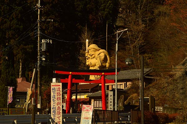
Gunma prefecture has some of the most renowned mountains in Japan. The three most famous are Mount Akagi, Mount Haruna and Mount Myogi. Mount Myogi is best know for its rough peaks and is popular for hiking, autumn colors and visiting the temple on the east flank of the mountain. The road that leads to this temple is actually a great driving road.
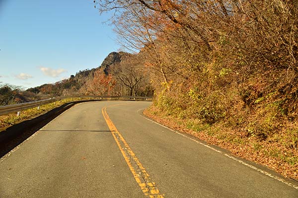
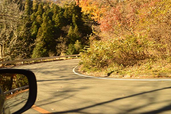
Officially this road is known as Kamikosaka Yotsuie Myougi Line, but Route 196 is an easier naming. It starts at the Myogi Michi no Eki station in Matsuda city, close to the Matsuda-Myogi highway exit. From there the road starts twisting along the mountain upwards to the Nakanotake Shrine over a length of 8 kilometer. The majority of the corners are low radius with left and right handers following up each other quickly. The views when getting to the higher part of the route are amazing but there are no real stopping areas for viewpoint. The road itself is also not very wide.
Arriving at the entrance of Nakanotake Shrine means that you have also reached the highest point of the road. There is a big parking here with souvenir shop and good view to the surrounding mountains. The road continues down towards the city of Shimonita after the parking but it becomes more narrow with larger gradient and tighter corners.
To get to the Route 196 takes around 2 hours from Tokyo via the highway. Takasaki is a big city that is not to far from this driving road. If around this area, one recommendation is to go to Karuizawa via the Nakasendo.
Google Maps location link:
Mount Myogi Route 196
Additional pictures:


