
One of the most famous “Skyline” roads in Japan is the Izu Skyline. The north entry to the Izu Skyline starts in mountains close to Atami and is connected to the Jukkoku Touge (route 20) which leads to either Atami or to Ashinoko Skyline.
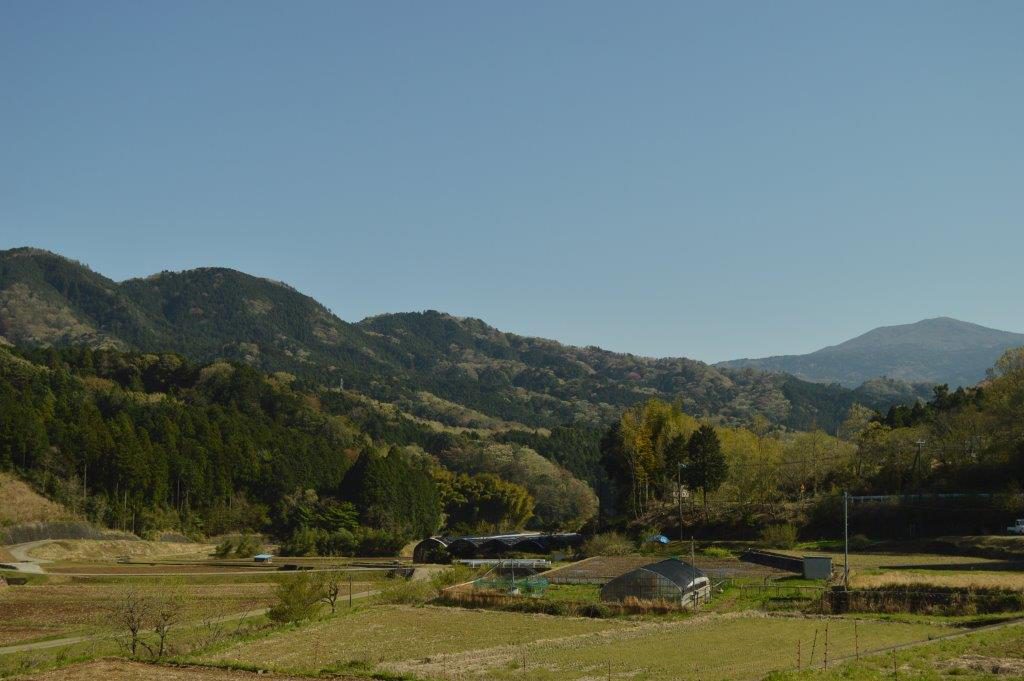
The Izu Skyline is approximately 40 kilometres long with the south entrance being close to Ito and Mount Omuro, an interesting shaped mountain. In between, there are several points to enter or exit the Skyline. Along the route are several rest stops and panoramic view points.

The Izu Skyline is a paid toll road. Prices can be found on the following website:
The roads are a combination of tight curves and long sweepers with few straight line sections. Road quality is very good.
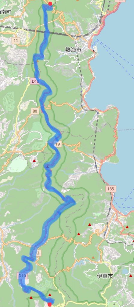
Google Maps location link:
Atami Touge Izu Skyline Toll Booth
A link to the Izu Skyline North entrance live camera can be found here:
Izu Skyline North entrance live camera