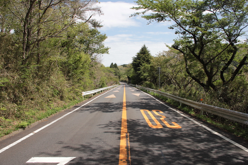
One of the first mountains you run into if you head northeast of Tokyo is Mount Tsukuba. This iconic shaped mountain is very popular for day trips for people from Tokyo for Hiking an other outdoor activities. A little bit south of the mountain are hills in which there are some popular driving roads, the Omote Tsukuba Skyline being the most famous. It is also known as the Tsukuba Purple Line.
Starting at the foot of mount Tsukuba Ropeway, the Omote Tsukuba Skyline, or route 236, is a 12 km stretch of curvy roads running until the Asashi Pass and connects to the Fruits Line, a road that once used to be another good driving road. Currently a large part of it is filled with speedbumps and the road quality has degraded so that it is less enjoyable to drive it.

The Tsukuba Skyline itself has very good road quality, does not have much regular commuting traffic and is forbidden for motorcyclists. A heaven for the car driving enthusiasts. The height difference on the complete section is also not so large. In the middle of the route is an entrance/exit to the route 138 so care has to be taken here.
Asashi Pass has a big parking with viewpoint towards Tokyo. Car enthusiast often gather here and it is a great place to watch some JDM cars. With only 1 and half hour away from Tokyo, it is one of the driving roads that is very accessible if you are living in the Tokyo greater Metropolitan area. And besides driving, there are a lot of other things to do in the area (for example a visit to Tsukuba Circuit) so it is certainly possible to enjoy a full day around Tsukuba, even if the weather is no good.

Google maps location link:
Omote Tsukuba Skyline
The two photos on this page are taken by Japan Touge Project. You can also buy a collection sticker of this road from them. See details here:
Japan Touge Project Tsukuba Purple Line
